Friday, October 25, 2019

Faroe Islands Ultralight Adventure

There is a body of water called "Sørvágsvatn" in the Faroe Islands. When I arrived at Vagar airport, I flew right over it on short final approach, during a dark early-morning instrument approach, with a low overcast and strong crosswinds. I saw it fleetingly, while concentrating on staying lined with the runway, and assumed it was a fjord, but it turns out to be a lake that is separated from the ocean by a short, but very steep, cliff. The day after I landed at Vagar, a friend posted this beautiful and striking picture of the lake on Facebook, with a mention that it was in the Faroe Islands somewhere. I didn't realize I had already seen it, so I decided to take a side trip in the X-Plane simulator's ultralight aircraft to find it, and circumnavigated all of the Faroe Islands looking for it, before I gave up and came back to the airport. As I was approaching the airport, I suddenly realized the large body of water on short final wasn't a fjord after all, and saw the cliff that had been shown in the photo on Facebook. As the old saying goes, "you always find what you're looking for, in the last place you look!"

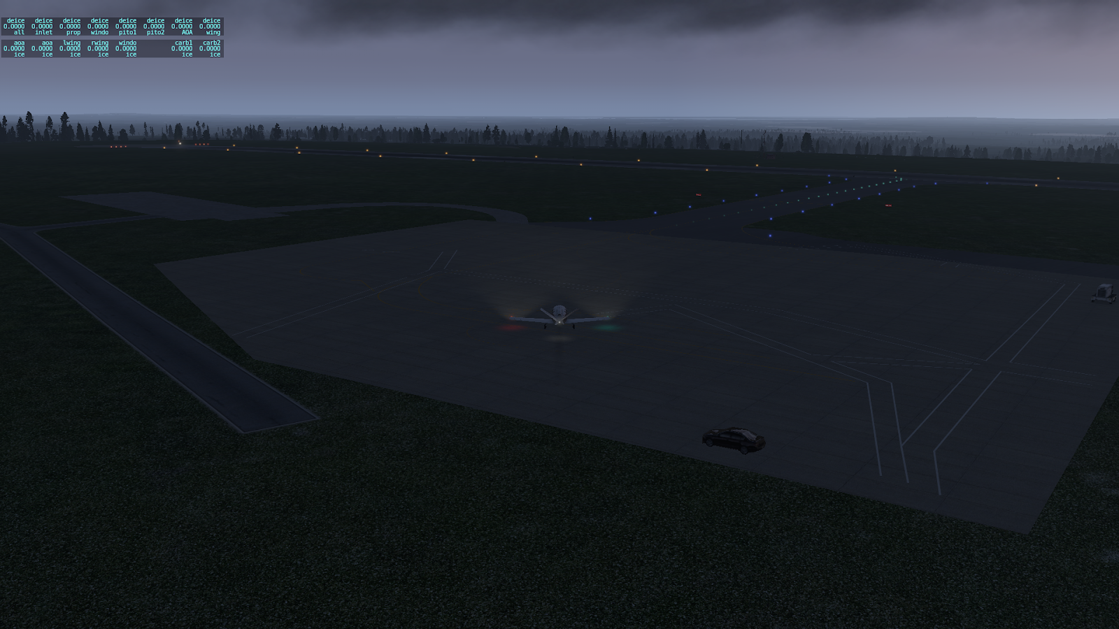
Here is a bunch of screen snapshots from my ultralight adventure. I took off on runway 30 toward the northwest, and circumnavigated the Faroe Islands in a clockwise direction. I flew high enough, to be able to see a reasonable amount of territory, then descended to investigate anything that looked like a lake that was relatively near the shoreline of an island. The last snapshot (of course!) shows what I saw, as I was approaching Vagar Island's airport from the southeast.

Sunday, October 20, 2019

Connacht to Faroe Islands

This flight leg is from Knock airport in Connacht, Ireland, to Vagar airport, near the town of Sorvagur, on the island of Vagar, in the Faroe Islands. There aren't a lot of choices of routes for an East to West Atlantic crossing, when you're flying an aircraft with limited range like this little SF50, which can go about 700 nautical miles, with minimal reserve. And with so much water everywhere, on the trip from Europe to America, I'd rather not push each leg beyond about 500 miles, if I have the choice. As it turns out, that choice is provided in the form of an airport on the Faroe Islands, that sells Jet-A aviation fuel. Here are some things to do in the Faroe Islands.

Preparing to taxi out for takeoff at Knock airport, in the morning mist. 

Interesting little turnabout, at the end of the runway at Knock airport, which allows me to use all the available runway for takeoff.

Ready for takeoff at Knock airport. There's a bit of a slope to the runway, so I can't see much of the runway before me.

Cruising at 26,000 feet before the rising sun. I love this view.

Descending toward the Faroe Islands, with Vagar Island straight ahead.

On the ILS approach to runway 30 at Vagar airport, descending through 3,100 feet, still in the clouds.

Tracking the ILS approach over some fairly high terrain, which is now visible, since I just broke out of the clouds, descending through 1,500 feet and 3.5 miles out. It's always good to have the airport and nearby terrain in sight, well before decision height.

On short final approach to what appears to be a heavily-sloped runway. 

Rolling out on runway 30, and holy cow, yes, the runway is very sloped, on both ends, not unlike a roller coaster. I had to use a significantly high power setting, just to get up to the runway turnoff. But what a beautiful view, off the departure end of the runway!

Waiting for a Sikorsky helicopter to taxi out, before I turn in towards the ramp area. Unfortunately, it seems that they're also waiting for me. I finally broke the stalemate, by taxiing in underneath them. The tower immediately cleared them for takeoff, and off they went.

Found a place to park on the ramp near the control tower. Nice view back in the direction of the final approach path, with the rising sun peeking under the low cloud layer.

Shutting down on the ramp at Vagar airport, with a gorgeous if misty view off to the west. Tomorrow should be an interesting departure, off a roller coaster runway, and following a fjord out over the ocean.

10/21: Interestingly / disappointingly enough, when I opened X-Plane for my next flight today, is when I realized I'd forgotten to save yesterday's situation, so it still thought I was on the ground in Connacht. Yesterday's flight, and especially the final approach, was so interesting, that I decided to fly it again. This image is from today's repeat flight. The weather was somewhat different this time, with very strong winds aloft, over 40 knots of quartering left tailwind when descending through 12,000 feet, and still close to a 30 knot mostly crosswind at the airport. It was dicey getting into Vagar in once piece - the strong crosswind lifted the wing and tail off the ground several times, after I was stopped on the runway. Probably would've been funny and embarrassing, to have captured a video of that landing, which in real life, should never have been attempted. That experience was so challenging, that I decided to defer the next flight leg for another day or so. There's a little black wind indicator box on the left screen, just to the upper left of the compass card, that shows the wind vector direction and magnitude. The Garmin G1000 calculates the actual wind vector, based on the difference between heading & true airspeed, and GPS track & speed. Good info to have, when preparing for the approach, so as not to be surprised by the significant crab angle required for the approach.

Saturday, October 19, 2019

Limoges to Connacht

Today's flight leaves Limoges, France for Knock airport in Connacht, Ireland! My cousin, a genealogy aficionado, says we have family history in Connacht. That seems like a good enough reason to visit this lush countryside! That, and it's fairly far north in the UK, and seems like a good launching point, to head out over the Atlantic Ocean toward the USA. Here are some things to do in Connacht.

Climbing out from Limoges, and turning onto my northwest-bound course to Knock, Ireland.

Crossing the coast of France northbound, near Saint-Malo.

Approaching Guernsey island, in the English Channel.

Approaching the southern coast of England, near Plymouth.

Crossing the English coast northbound, near Crackington Haven.

Passing the English west coast of Wales.

The setting sun is barely visible over the cloud deck, while descending towards Knock airport.

All setup for the ILS 26 approach to Knock, descending through 11,500 feet.

Beautiful view westward, after turning on the final approach course to Knock airport. No sight of the airport yet, but I'm still nearly 10 miles out...

On final approach to Knock, 5.3 miles out, and the airport lights have just come into sight in the evening haze.

The setting sun adds some beauty to the final approach to Knock airport.

On short final approach to runway 26 at Knock airport, with a stand of tall trees just off the approach end of the runway.

It feels like the wheels are skimming the trees, and maybe they are, even though I'm right on the glideslope, so there should be plenty of clearance from obstacles. Looking at it from the side, it does seem pretty close.

On the ground at Knock airport, just as the sun is setting.

Thursday, October 17, 2019

Genoa to Limoges

Today’s flight is from Genoa to Bellegarde airport in Limoges, France. My late wife collected beautifully made miniature Limoges porcelain boxes of various eccentric shapes and sizes, mostly cute little animal themes, such as bunny rabbits doing interesting things. On our trip to Europe, she wanted to stop in Limoges, as part of our train trip from Paris to Lucerne, but the timing didn't work out, and she was sorely disappointed. So here I am, flying into the airport in Limoges, I guess in her memory, but really, I was interested in visiting it, too. Here are some things to do in Limoges.

Climbing out from airport, there's a nice view looking back, of Genoa's city and harbor, and with Portofino jutting out into the Ligurian Sea, in the far background.

It's nice to be flying in a fast-climbing little jet, when heading North from Genoa, towards Monte Reixa in the Ligurian Apennines coastal mountain range. In the smaller propeller-driven planes I've flown in past decades, I'd probably have detoured to the southwest, to avoid the high terrain directly ahead. The little SF50 jet is having no problem out-climbing this terrain.

Crossing the French Alps, not far from Barre des Ecrins, the tallest peak in the area. Grenoble, the city that hosted the 1968 winter olympics games, is in a valley ahead and to the right.


On the ground at Bellegarde airport in Limoges. It's one of those small country airports, with nice green scenery in the surrounding area.