Departing Falkland Islands for
Ministro Pistarini International Airport near Buenos Aires, Argentina, a range-challenging 1,012 NM. Here are
some things to do in Buenos Aires. This flight has been one of my most challenging to date, due to a
widespread area of severe thunderstorms over most of Argentina. In the
real world, I would have either delayed the flight, or diverted to avoid
the worst of the weather. Since I was flying the simulator, I had already decided
to "take a look," and see how it would go.
The winds aloft at my altitude resulted in a very high (107 knot) crosswind at my cruising altitude of 31,000 feet, which reduced my groundspeed by over 60 knots. This flight's distance was already pushing the range of my little jet, so this wind twist didn't help my comfort level. However, the very useful fuel totalizer flight planning tool predicted me landing with 296 pounds of fuel on board, so I decided to press onward. Even before I began my descent, I could hear the sound of thunder from the cloud layer beneath me.
I started picking up ice as soon as I entered the cloud layer, which was not unexpected, with the temperature at minus 46 degrees Centigrade, so I turned on all ice protection systems. In this snapshot, I'm descending through 18,000 feet, with the temperature at -14C, still well below freezing. The severe weather depicted in the
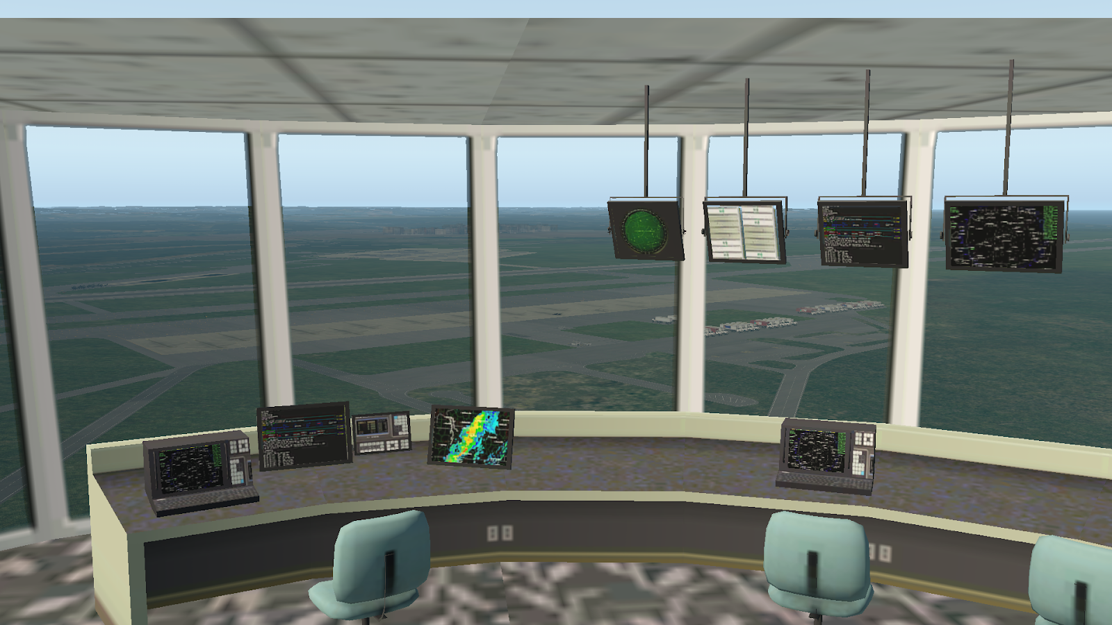
NEXRAD weather radar display correlates with the thunder, lightning, moderate to severe turbulence, and heavy precipitation I'm experiencing. The ice accumulating on the windscreen is a new feature for this aircraft model in the simulator, and although I didn't much like being caught in serious icing conditions, it was helpful to have a visual clue that something was going on. In addition, and I don't know if the real airplane has this, but the simulator was calling out "Ice! Ice! Ice!" over the speaker. The data output numbers in the upper left of the screen also confirmed the fact that, even with all the deicing equipment operating, ice was still accumulating on the aircraft.

Just about a minute from turning left onto the final approach course, descending through 3,100 feet. The temperature's up to +18C, all the ice has melted off, and now I'm just dealing with some turbulence and a stiff crosswind. And, of course, a big blotch of severe weather on the NEXRAD display, just south of the airport. Did I mention the recurring thunder and lightning throughout this approach?
Down to about 300 feet above the airport, and below the overcast, but still dealing with limited visibility. At first all I see are trees, but looking closely, I realize that the runway glideslope
PAPI lights are just becoming visible ahead, just below the horizon, and just to the left of the post dividing the windscreen.
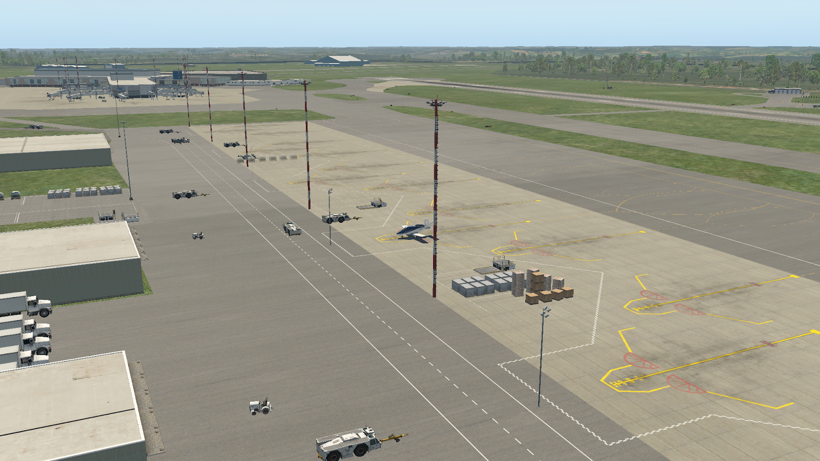
Down and (relatively) safe! The wind is still buffeting the airplane, as I taxi away from the runway, in search of a safe harbor from the wind, rain, and lightning.
Aha! I found a nice unoccupied hangar for shelter. And I happened to catch a snapshot of a lightning strike nearby, to the left of the control tower.


 Descending through 19,000 feet, with a -14C temperature, and broken clouds below.


