This flight leg is from Knock airport in Connacht, Ireland, to
Vagar airport, near the town of
Sorvagur, on the
island of Vagar, in the
Faroe Islands. There aren't a lot of choices of routes for an East to West Atlantic crossing, when you're flying an aircraft with limited range like this little SF50, which can go about 700 nautical miles, with minimal reserve. And with so much water everywhere, on the trip from Europe to America, I'd rather not push each leg beyond about 500 miles, if I have the choice. As it turns out, that choice is provided in the form of an airport on the Faroe Islands, that sells Jet-A aviation fuel. Here are some
things to do in the Faroe Islands.
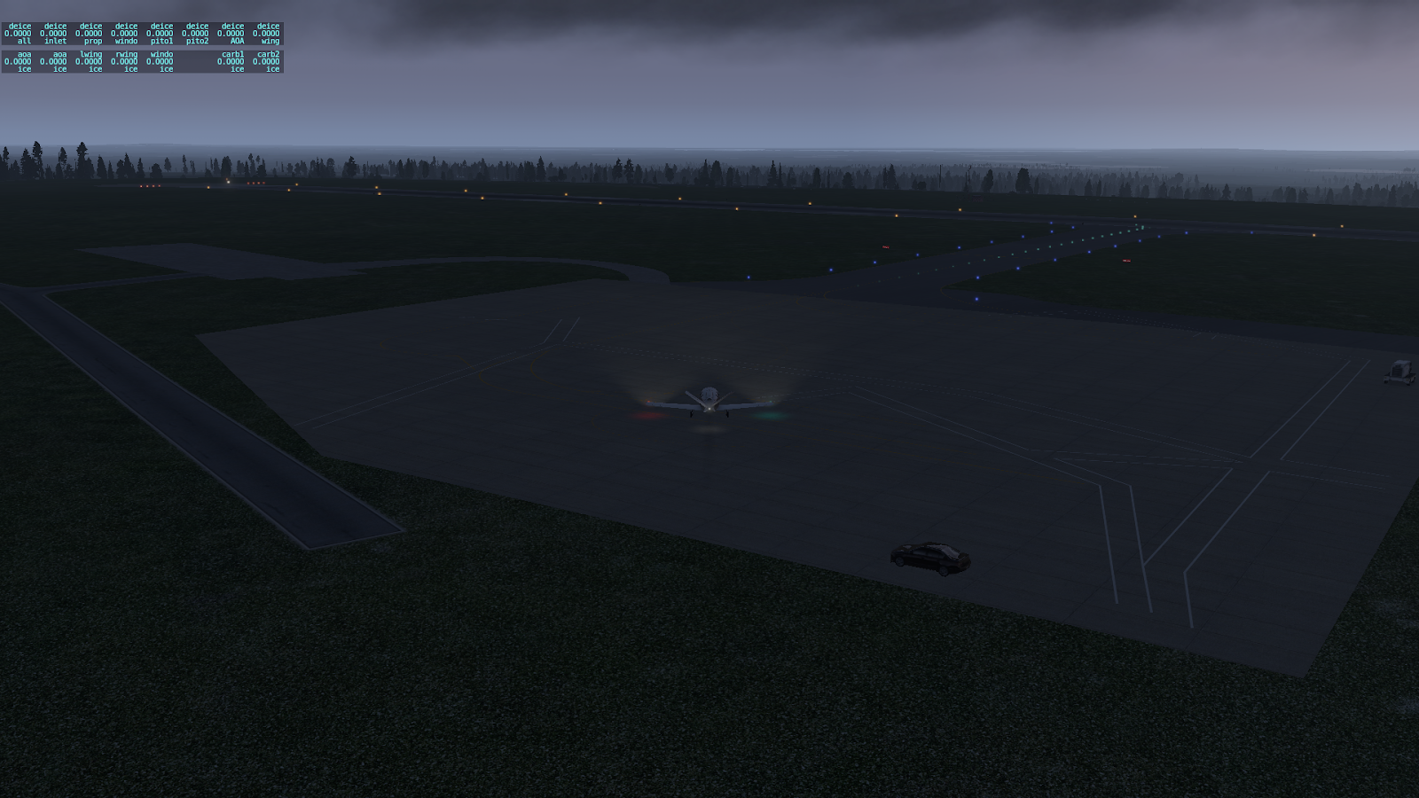
Preparing to taxi out for takeoff at Knock airport, in the morning mist.
Interesting little turnabout, at the end of the runway at Knock airport, which allows me to use all the available runway for takeoff.
Ready for takeoff at Knock airport. There's a bit of a slope to the runway, so I can't see much of the runway before me.
Cruising at 26,000 feet before the rising sun. I love this view.
Descending toward the Faroe Islands, with Vagar Island straight ahead.
On the ILS approach to runway 30 at Vagar airport, descending through 3,100 feet, still in the clouds.
Tracking the ILS approach over some fairly high terrain, which is now visible, since I just broke out of the clouds, descending through 1,500 feet and 3.5 miles out. It's always good to have the airport and nearby terrain in sight, well before decision height.
On short final approach to what appears to be a heavily-sloped runway.
Rolling out on runway 30, and holy cow, yes, the runway is very sloped, on both ends, not unlike a roller coaster. I had to use a significantly high power setting, just to get up to the runway turnoff. But what a beautiful view, off the departure end of the runway!
Waiting for a Sikorsky helicopter to taxi out, before I turn in towards the ramp area. Unfortunately, it seems that they're also waiting for me. I finally broke the stalemate, by taxiing in underneath them. The tower immediately cleared them for takeoff, and off they went.
Found a place to park on the ramp near the control tower. Nice view back in the direction of the final approach path, with the rising sun peeking under the low cloud layer.
Shutting down on the ramp at Vagar airport, with a gorgeous if misty view off to the west. Tomorrow should be an interesting departure, off a roller coaster runway, and following a fjord out over the ocean.

10/21: Interestingly / disappointingly enough, when I opened X-Plane for my next flight today, is when I realized I'd forgotten to save yesterday's situation, so it still thought I was on the ground in Connacht. Yesterday's flight, and especially the final approach, was so interesting, that I decided to fly it again. This image is from today's repeat flight. The weather was somewhat different this time, with very strong winds aloft, over 40 knots of quartering left tailwind when descending through 12,000 feet, and still close to a 30 knot mostly crosswind at the airport. It was dicey getting into Vagar in once piece - the strong crosswind lifted the wing and tail off the ground several times, after I was stopped on the runway. Probably would've been funny and embarrassing, to have captured a video of that landing, which in real life, should never have been attempted. That experience was so challenging, that I decided to defer the next flight leg for another day or so. There's a little black wind indicator box on the left screen, just to the upper left of the compass card, that shows the wind vector direction and magnitude. The Garmin G1000 calculates the actual wind vector, based on the difference between heading & true airspeed, and GPS track & speed. Good info to have, when preparing for the approach, so as not to be surprised by the significant crab angle required for the approach.


No comments:
Post a Comment